Resources
KVR Outfitters Ltd is a business that is being operated as a social enterprise >.
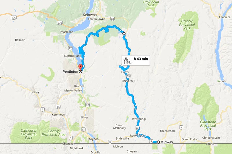
KVR Maps
https://www.bcrailtrails.com/wp-content/uploads/2023/03/KVR_trail_map.pdf
This map is also available in hard copy at Visitor Information Centres

Cycling the KVR
- The Kettle Valley Rail Trail – A Great Adventure
Situated in central southern British Columbia, this converted railway to trail way traverses some of Canada’s warmest climates through spectacular mountain and valley scenery. With a maximum 2.2% grade, the trail can be cycled or hiked by most with just a little preparation. We invite you to explore this site to gain a good idea of the terrain and what to expect along the way.
Where to Stay
Transportation
- Getting here by Air
If you are traveling from abroad, Vancouver is your nearest major airport with connecting flights to either Penticton or Kelowna.
- Getting here by Bus
There is limited bus service in the BC interior. We list all known carriers below.
- Once you’re in the area: Shuttles & taxis
When you book any of our self-guided cycle tours a shuttle from Penticton to Midway is already included in the cost of your tour.
We include these resources for if you’re planning your own trip, just need a shuttle along the way, or are doing day trips (e.g. from Penticton to Chute Lake or Myra Canyon).
- If you have your own vehicle
You will need transportation either to or from the start of your ride unless you are using 2 vehicles and leaving one at each end.
Alternatively, you there are places you can leave your vehicle:
- If you are starting at Mile 0, traditionally you have been able to park your car at the Kettle River Museum. Please check with them first for any updates before planning to do so, and be sure to leave a donation and let the staff know when you plan to return.
- Please let these providers know you found them on our site! We are trying to gauge if there is enough demand to provide a regular service for the KVR and who is best placed to do it.
- We would also like to hear any feedback you may have about these operators from service, to price to your experience.
Thank you!
Weather
Environment Canada has a great website with current and historical data for weather.
Be prepared! check the forecast before you set out on your trip! Following are links to The Weather Network for each town along the trail that this website encompasses from east to west. There are no links for the higher elevations from Beaverdell to Chute Lake but you can count on that area being somewhat cooler as you will be at the highest elevation of the trail.
- Christina Lake
- Grand Forks Weather
- Greenwood Weather
- Midway Weather
- Rock Creek
- Beaverdell
- Kelowna
- Penticton
- Okanagan Falls
- Oliver
- Osoyoos
The weather from Midway to Penticton can vary considerably as you will be traveling from one valley over a mountain highland area and descending into another valley from the Kettle River Valley in the east, over the Okanagan Highlands and down into the Okanagan Valley.
Spring will arrive in the valleys in April/May, but this may be earlier than over the higher alpine areas such as Idabel or Chute Lake. If you are considering a multi day trip it is wise to wait until danger of late snows and wet spring weather have passed. Generally from mid-May on you should be fine but you will likely encounter wet areas in the higher elevations from the snowmelt.
Summer arrives in full force during the month of June to all areas and July and August are typically very hot and dry with average daily temperatures in the high 20’s. It is not uncommon to reach the high 30’s and up to 40 degrees Celsius especially south in the Okanagan (Penticton). If you extend your trip south on the spur route through Okanagan Falls, Oliver and Osoyoos you will find even hotter and drier country. It is therefore very important to always have plenty of water/fluids with you and sun screen.
Autumn can be a delightful time to ride with typically dry conditions and sunny days. From end of August through September and even early October, the trail can be ridden comfortably by day. Keep in mind the days will draw to a close earlier and the nights get very chilly so be prepared if you are camping.
It is important to realize that if your trip reaches the alpine lakes (Idabel, McCulloch, Chute Lake), you are in much different country than the valleys. It can be very deceiving to set off from one of the valleys into the highlands. It can be warm/hot in valleys and quite cooler in the mountain elevations, especially at night.
Be prepared at all times of year by bringing rain and wind gear and a dry change of clothing.
Useful Tips
- Trail Etiquette
Just as important as your enjoyment of the trail, is ensuring you adhere to some basic principles which will ensure the future of the trail for cyclists to come. The following guidelines are also posted along the trail:
- Please respect the rights of all trail users and keep to the right
- Cyclists slow down, communicate and exercise caution when passing hikers and equestrians. Give horses a wide berth.
- Anticipate that other trail users may be around corners or in blind spots.
- Respect the environment and the rights of adjoining land users.
- The trail route may go through active logging, trapping, farming and mining environments. For your safety, please obey any industrial signage.
- Unfortunately (and surprisingly!) the KVR is not all designated non-motorized. Please be aware you may encounter vehicles along the way. They are to give way to cyclists, equestrians and hikers. Please contact BC Rec Sites & Trails and/or Trails BC if you have comments or suggestions regarding this, or encounter any undue activity along the way. You are the eyes and ears on the trail!
- Do not take shortcuts or ride off the trail as it will damage vegetation and cause erosion.
- Smoking, camping and campfires are not allowed on the trail. Please dispose of all waste properly.
- Keep dogs on a leash and under control at all times.
- Do not litter, if you pack it in, pack it out.
- Respect private property:
- Do not trespass on private property
- Leave ranch and farm gates as you find them or as marked
- In BC we have Rangeland Tenure, where ranchers pay for and have rights to range cattle on Crown land
- Ranchers may be moving animals from location to location on and off their property or from pasture to pasture
- Stay on the trail, do not cross private property to access the river
- Protect our farmland and our wildlife:
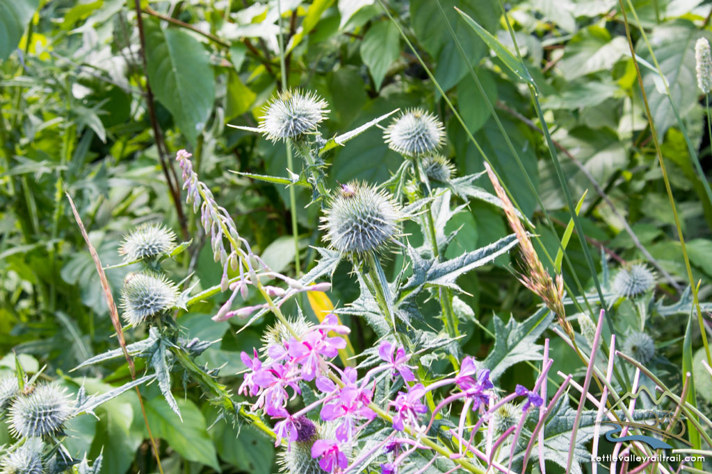
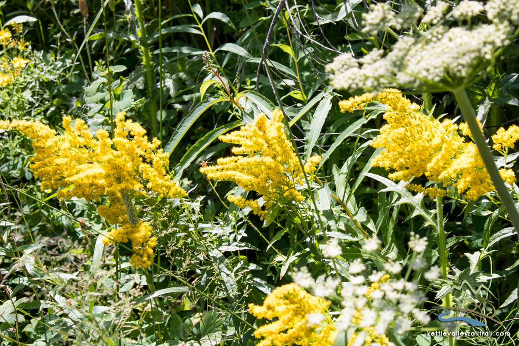
- Trails are vectors for the migration of invasive plant species
- An invasive species is one that isn’t native to our area
- We can pick up seeds on our shoes and our bike tires and spread them across the distances we travel
- This is a huge problem for agriculture (some invasives are poisonous to livestock, they take over from native vegetation and reduce the supply of food available to both livestock and wildlife)
- Farmers have to spend time and money to eliminate the invasives
- They sometimes end up using herbicides that they would prefer not to use
- What you can do:
- Brush your shoes and your tires before you enter and leave the trail
- Don’t pick or transport plants
- What to pack
Clothing
- wet weather gear/extra layers for cool or wet days including a good rain jacket – be prepared for all seasons!
- light layers so you can add on or take off depending on the day – synthetic or wool are best for quick drying and keeping you warm when wet
- bike helmet
- bike shorts are recommended! they may not look pretty but you’ll learn to love them!
First Aid Kit A basic first aid kit is always recommended when you are involved in a wilderness activity. Be sure to take any personal medication/allergy support if you need.
Bike Repair Kit You should be able to fix a flat tire.
Water Lots of it! You should plan to drink at least 1.5-2.5 litres of water/day so always be sure you plan your trip with access to refills along the way.
Sunscreen Apply liberally! especially during the peak summer months the sun is very intense.
Insect repellent The area is mostly dry, but in wet conditions you may encounter mosquitos, especially if you are camping.
Bike Sales & Service
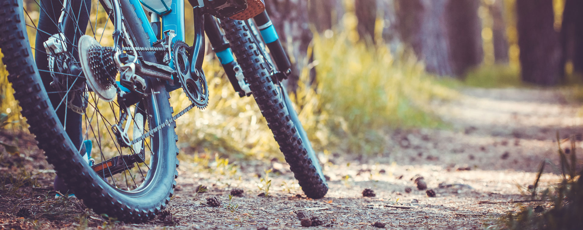
If you’re bringing your own bike to ride, it’s always handy to know where the local service shops are. You may even be in the market to purchase a new bike for the occasion.
- Sessions (Osoyoos)
- Double O Bikes (Osoyoos, Oliver)
- Hoodoo (Penticton)
Safety & Emergency Services
Don’t ride beyond your fitness ability
We recommend that while you’re in the Boundary you sign up for Voyent Alert: This sets you up to receive emergency/evacuation notifications from the Regional District of Kootenay Boundary while you’re travelling through the area.
Note that cell service is intermittent along the rail trail. Some people use satellite GPS trackers with text capability for emergencies.
Be aware of basic wilderness safety:
- Don’t go near water or shelter under trees in a lightning storm
- Don’t approach wildlife and don’t feed wildlife
- Be Bear Aware (Wildsafe BC)
- Rattlesnakes (AdventureSmart)
Emergency Contacts
Call 911 for ambulance or police emergency services; they’ll call out search & rescue if needed
Call 1 800 663-5555 toll-free or *5555 on a cellphone to report a wildfire
Non-emergency contacts
- Midway RCMP: 250 449-2244
- Penticton RCMP: 250 492-4300
- Osoyoos RCMP: 250 495-7236
- Kelowna RCMP: 250 762-3300
Hospitals
- Grand Forks: 7649 22 St, Grand Forks
- Oliver: 911 McKinney Rd, Oliver, BC
- Penticton: 550 Carmi Ave, Penticton, BC
- Kelowna: 2268 Pandosy St, Kelowna, BC
Rural Clinics
- Rock Creek: 100 Cutoff Road, Rock Creek, BC
- Midway: 500 Haynes Street, Midway, BC
